County Approves Sponsoring Housing Grant Request
The Roosevelt County commissioners approved the request to sponsor a housing grant for Great Northern Development Corp., through House Bill 819.
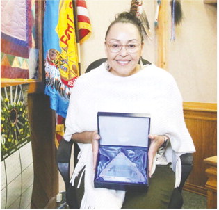
Brianna Vine, housing specialist for GNDC, explained that because of HB 819, legislators invested a total of $1 million in communities to address the housing shortage throughout the state. The plan is for the state to award 30 $30,000 grants.
If approved for the grant, GNDC will conduct a regional housing needs assessment throughout the six-county area. A local government or tribal government can only apply for the state project, so GNDC needed a sponsor for the grant opportunity.
“Roosevelt County is at the heart of all of this,” Vine told commissioners.
She added the assessment will work well with the crisis coalition’s goals being done in Roosevelt County and the Fort Peck Reservation.
The assessment, to be led by a consultant, can help determine the needs for such items as sober living facilities and shelters.
“We’re trying to take the next steps toward housing,” Vine said.
Commissioner Gordon Oelkers said he feels it’s a good program. He asked what is the project’s ultimate goal.
“Then we will know what we need to do,” Vine answered.
Commissioners approved the request by a 2-0 margin. Commissioners Robert Toavs missed the meeting because he was out of state.
Also during the meeting on Tuesday, Jan. 30, commissioners approved a task order from Interstate Engineering for the Road 1010 Shotgun Creek Bridge located north of Bainville.
Hired were Wyatt Miller for the sheriff’s office and Maestro Martinez for the detention center. John Knudsen was re-appointed to the weed district board.


